DARPA Critical Minerals Competition Uses AI to Accelerate Analytics
Prizes offered for automating aspects of U.S. Geological Surveys critical mineral assessments
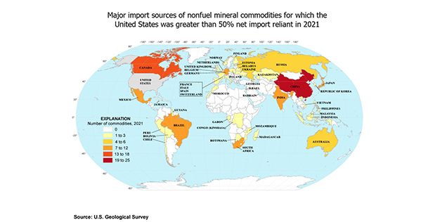
The United States depends on a variety of raw, non-fuel materials dubbed critical minerals to manufacture products considered essential to national security. These products can range from rare earth minerals in electric motors and generators, to the carbon fiber used for airplanes. Increasing demand, coupled with limited domestic supply and increasing reliance on foreign companies to import these critical minerals, poses significant risks to the U.S. supply chain.
DARPA has partnered with the U.S. Geological Survey (USGS) to explore the potential for machine learning and artificial intelligence tools and techniques to accelerate critical mineral assessments. The goal is to significantly speed up the assessment of the nations critical mineral resources by automating key steps in the process.
The Energy Act of 2020 called for the USGS to assess all critical mineral resources in the U.S. In addition, the Bipartisan Infrastructure Law called on the USGS to assess potential critical mineral resources in mine wastes. These assessments can quantify potential mineral sources from existing domestic mines whether historical or active and help identify opportunities for economically and environmentally viable resource development.
Heres the challenge: The list of critical minerals currently includes 50 minerals and current assessments are labor intensive. Using traditional techniques, assessing all 50 critical minerals would proceed too slowly to address present-day supply chain needs.
The USGSs critical mineral resource assessments are at the heart of our domestic supply and production of critical minerals, said Dr. Anne Fischer, deputy director of DARPAs Defense Sciences Office. We want to have a measurable, immediate impact on the USGSs ability to reach some of its objectives, especially in ways that are critical to national security.
As part of the exploratory study, DARPA, in collaboration with the USGS, MITRE and NASAs Jet Propulsion Laboratory, launched the AI for Critical Mineral Assessment Competition. This competition solicits innovative solutions for automatically extracting and georeferencing features from scanned or raster maps.
The competition will include the following two, independent challenges:
- Map Georeferencing Challenge: Automated map georeferencing is a difficult task as most USGS maps are not digitized, and may be in a multitude of historical coordinate projection systems. Furthermore, the quality of features on scanned maps, critical for the identification of control points for alignment, can vary greatly. Participants will receive a dataset of 1,000 or more maps of various types for training and validation. The goal of this challenge is to accurately geolocate a map of unknown location and coordinate system by fitting coordinate points that can be referenced to known locations in one or more base maps.
- Map Feature Extraction Challenge: Automated map feature extraction is a difficult task because map features (polygons, points, lines, text) often overlap and are sometimes discontinuous. Not only do the features come in all shapes and sizes, but the same feature type can be depicted in different maps using different symbols or patterns. This makes it challenging to create a universal identifier for even a single feature such as a mine location or mineral resource tracts. Participants will be provided a training set consisting of maps with each legend item labeled and characterized (as point, line, or polygon) and a binary pixel map reflecting the features coverage in the map. The goal of the challenge is to identify all features in a map that appear in the maps legend.
Competition registration for the first challenge on map georeferencing opens August 15; registration for the second challenge on map feature extraction opens August 29. For each of the two challenges, DARPA will award $10,000 for the first prize, $3,000 for the second prize, and $1,000 for the third prize in October 2022.
DARPA is known for fostering innovation by creating problem-focused research communities, and were excited to put the results of this competition to immediate use, said Sarah Ryker, associate director for energy and mineral resources at the USGS. The United States is under-mapped, and the Bipartisan Infrastructure Law provides a historic opportunity to catch up if we can precisely target our investments in new mapping. We hope that new capabilities emerging from these challenges will enable us to do exactly that.
For complete information about the AI for Critical Mineral Assessment Competition including challenge rules, eligibility requirements, registration access and more please visit CriticalMinerals.darpa.mil.
Media with inquiries should contact DARPA Public Affairs at outreach@darpa.mil
Associated images posted on www.darpa.mil and video posted at www.youtube.com/darpatv may be reused according to the terms of the DARPA User Agreement.
Tweet @darpa
( Press Release Image: https://photos.webwire.com/prmedia/7/293054/293054-1.png )
WebWireID293054
This news content was configured by WebWire editorial staff. Linking is permitted.
News Release Distribution and Press Release Distribution Services Provided by WebWire.